Mount Hooker, Vancouver Island
/Finally, I can cross this one off of my list. Let me first say this though: Mt Hooker is not an easy mountain to climb. The trail is incredibly over grown (literally pushing your way through thick alder groves with hardly an inkling of a trail for 2+ hours) and it would be very easy to get lost. Proceed with caution!
Mount Hooker (1200m) is located outside of Nanaimo by the Nanaimo Lakes campgrounds, overlooking First and Second Lake. There are many impressive mountains in the area, ranging from Mount Benson height (around 1000m) all the way up to the 1600m range. Most of them are known trails, with at least SOME information available online. However, I could find nothing about Mount Hooker. It's not even named on Google maps (as you can see below).
The only information I could find about it was that it was about 12km round trip and should take roughly 4 hours. Oh, and to STAY LEFT once you start hiking. This part is crucial...our first attempt at Mt Hooker was last weekend, in the pouring rain, and we missed the left turn. We ended up walking for over two hours around the mid-section of the mountain, circling around to the backside but not ascending hardly at all.
To get to Mt Hooker, head towards the Nanaimo Lakes Campground. Make sure you check what time the gates will be open until, because there's no cell service in the area and it's a long walk if your vehicle gets locked in. Take a left towards the First Lake Campsites, go over a bridge, and hang a right (the campgrounds down the road to the left). There's immediately a gate. Park here (but not directly in front of the gate) and begin your ascent up old logging road.
After 1km, there is an overgrown road branching off to the left (see below). It doesn't look like much, but this is the trail up the mountain. If you continue straight instead, it's a lovely walk, but you don't gain much height at all.
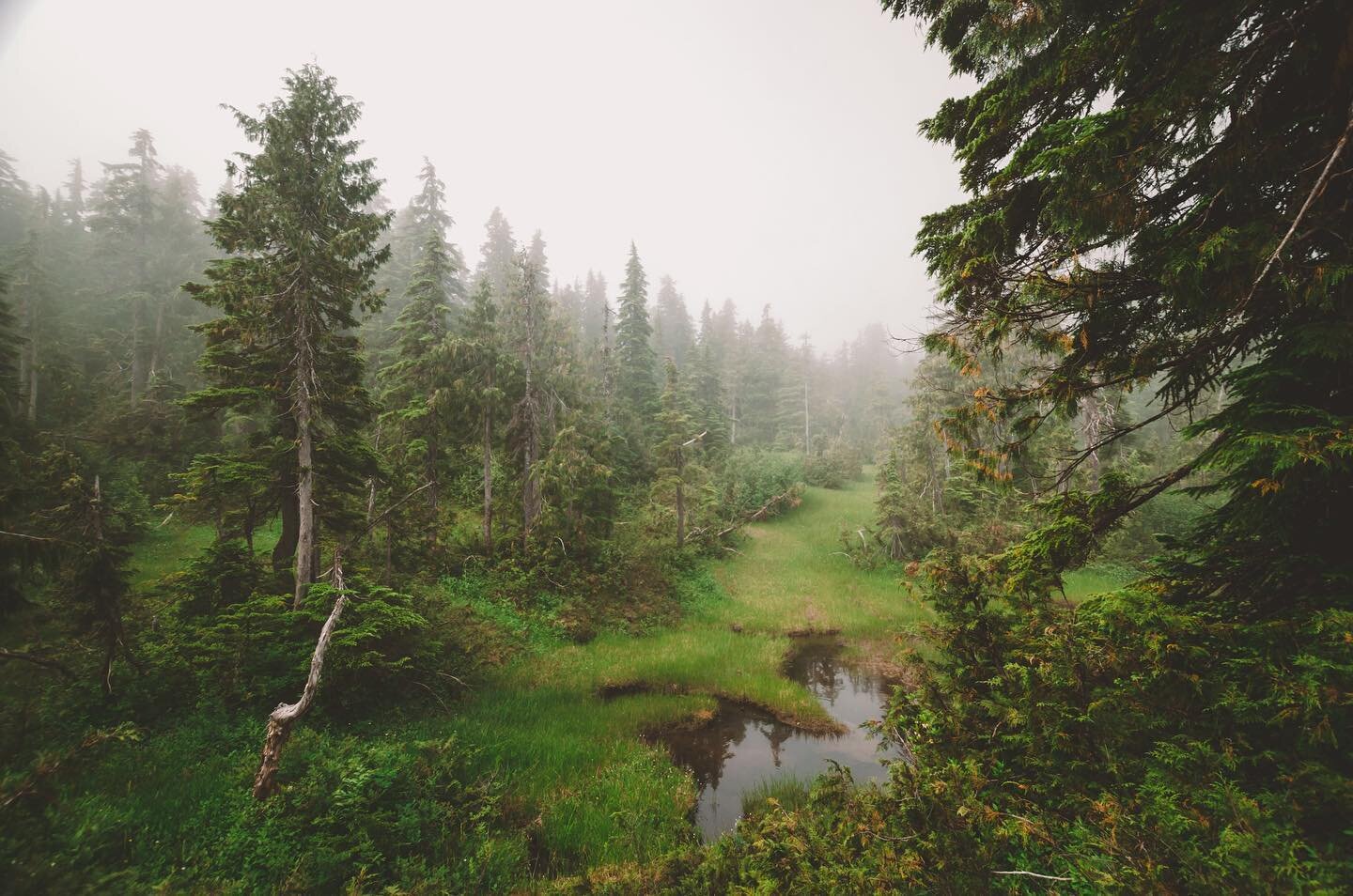
As you push your way through alder trees and prickly bushes, you might think that it will clear up any minute, but in fact it gets steadily worse. The trail gets steeper and steeper and the bush gets thicker, occasionally interrupted by just enough of an open section of road to encourage you to keep going. Next time we will be bringing flagging tape and a machete to make things easier.
Yes, that's actually how thick it is. Arms up, head down, push your way through. It was clear that no one had been here in a long time. After about an hour of grinding up through the bush, we started to get rewarded with viewpoints in each section of bush-free road.
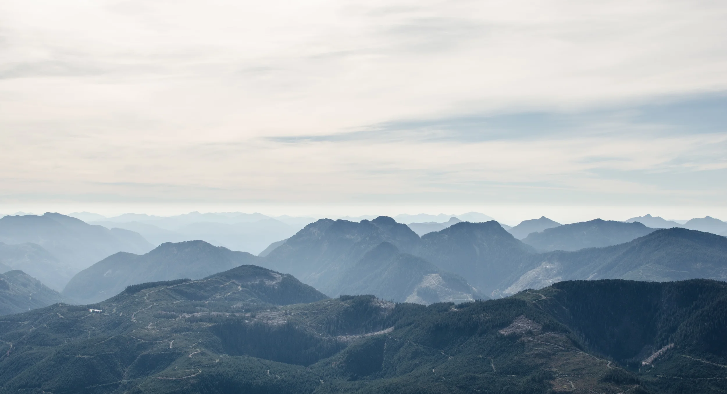
The higher we climbed, the steeper the road got, but thankfully the brush began to clear. We were treated to views of the valleys and mountains surrounding the lake, dominated by Black Jack Ridge.
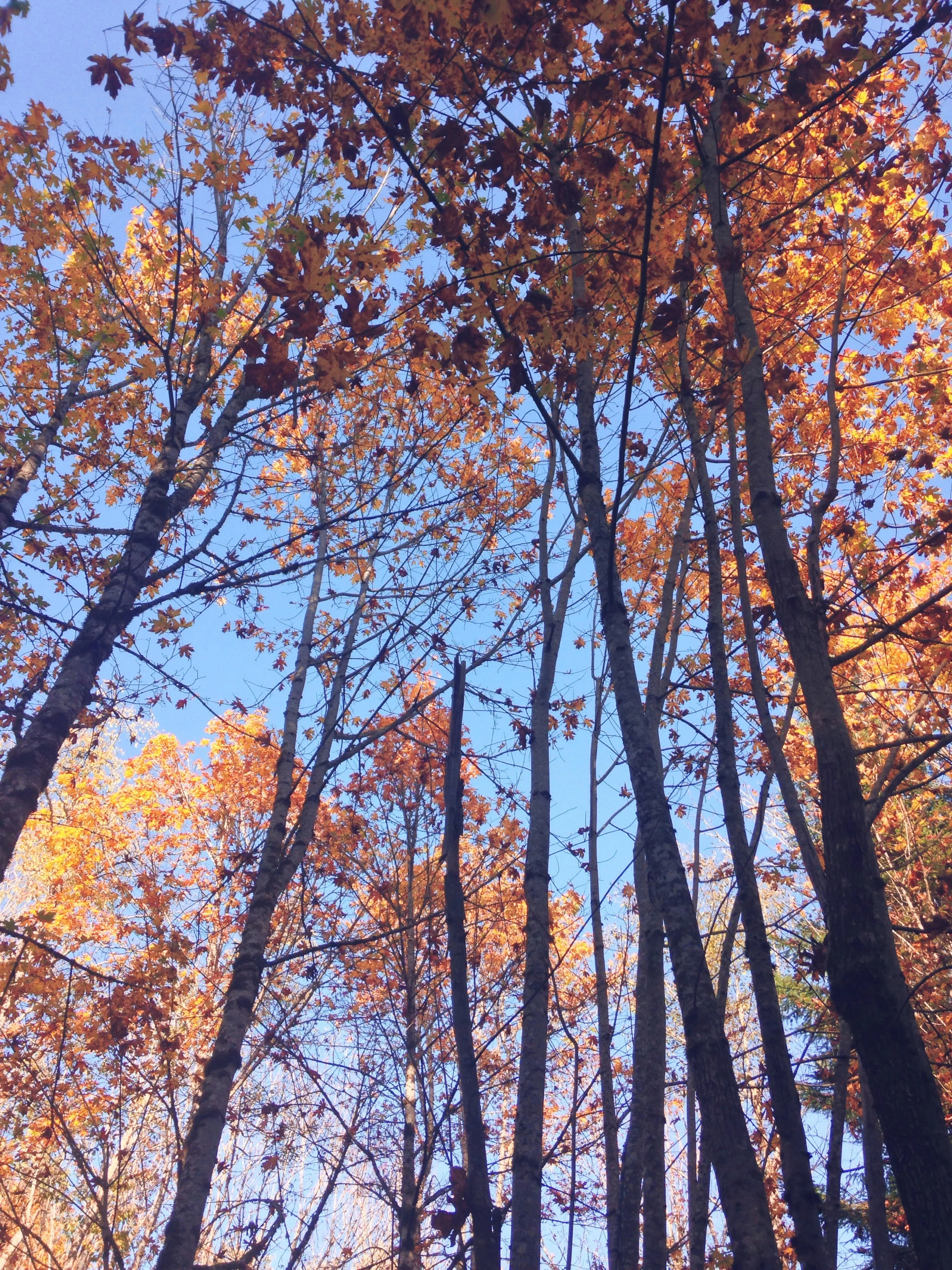
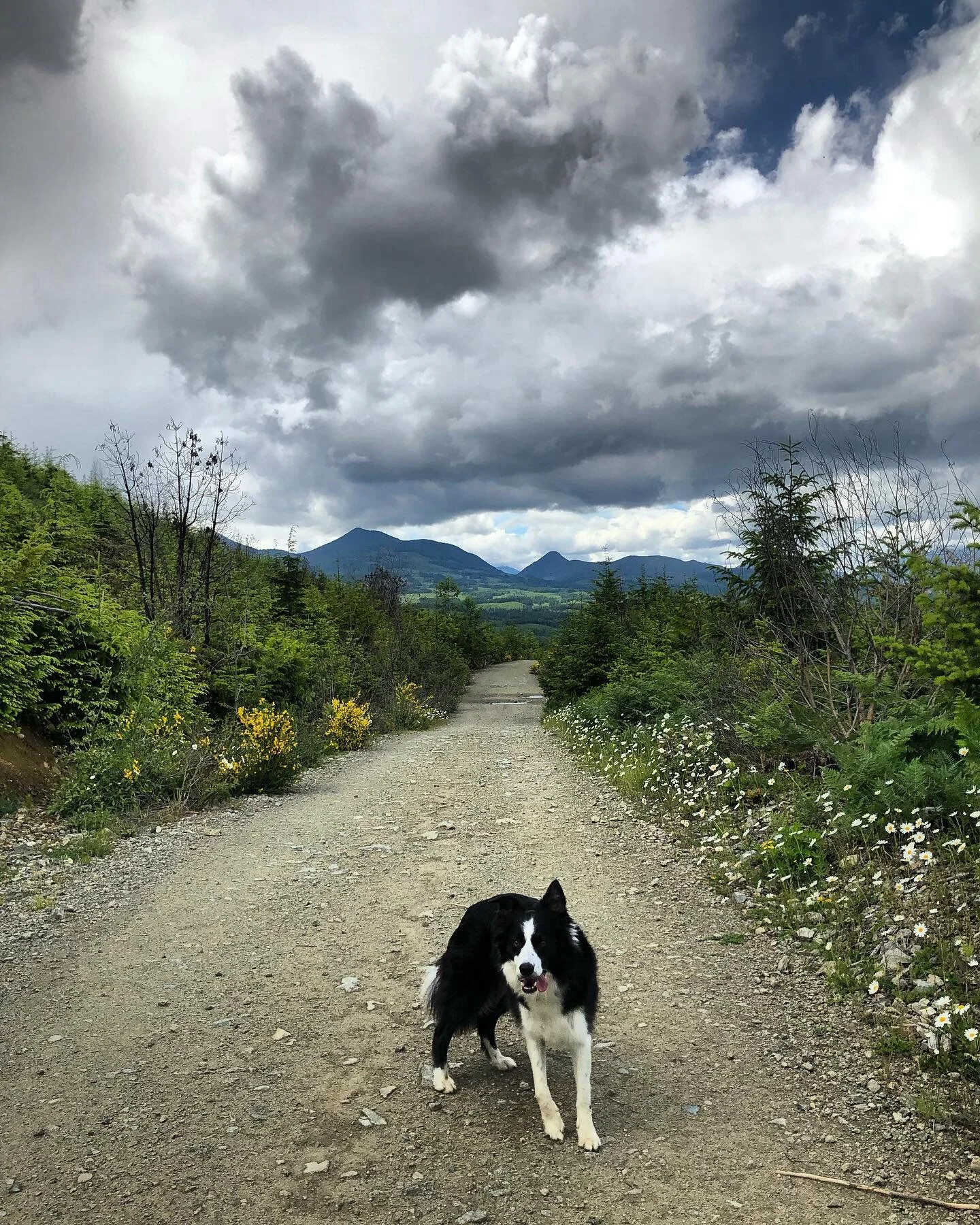
Despite the gloomy looking clouds, the rain held off for the entire trip!
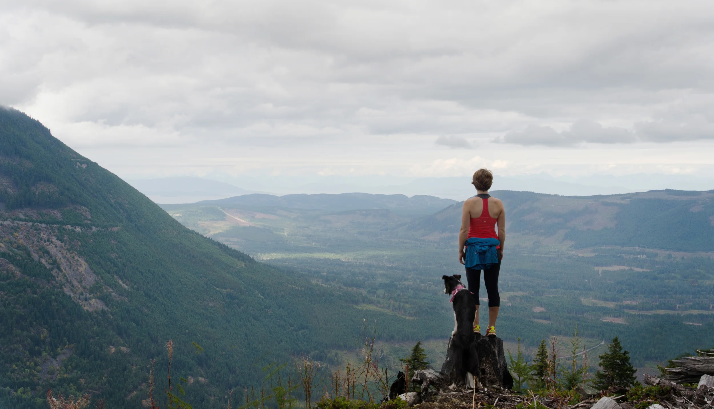
All in all, it took us just shy of 2.5 hours to reach the top, including breaks. It was probably about 2 hours of hiking time without our picture and snack breaks. The way back down though? An hour. That's how steep the climb was! We basically ran most of the way down, skittering over the sharp rocks and plowing through the alder trees. Despite the difficulties of the trail, Mount Hooker was a great hike! It's hard not to be stoked when you end up with such a gorgeous view. I look forward to working on the trail and making it more accessible.
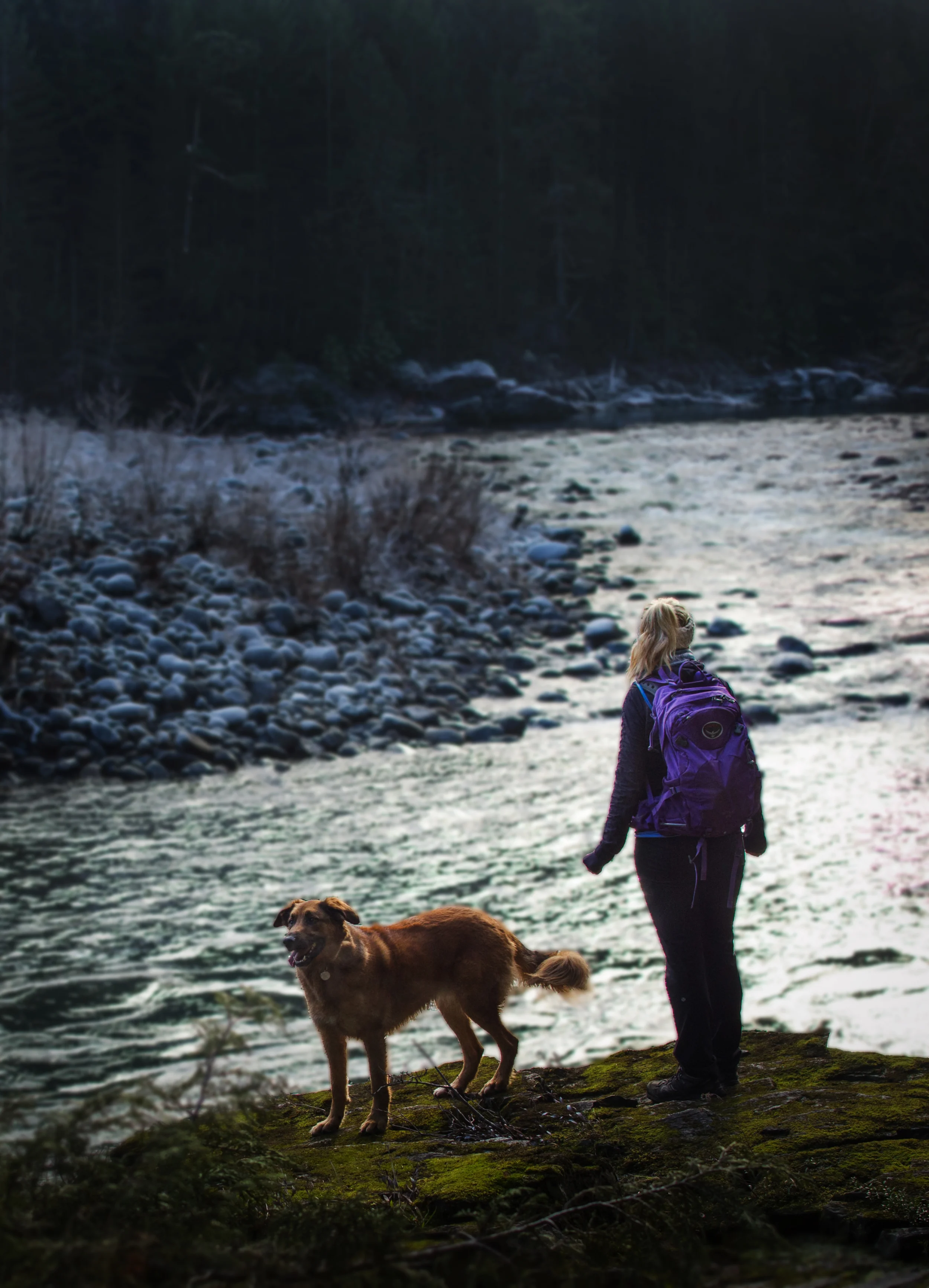
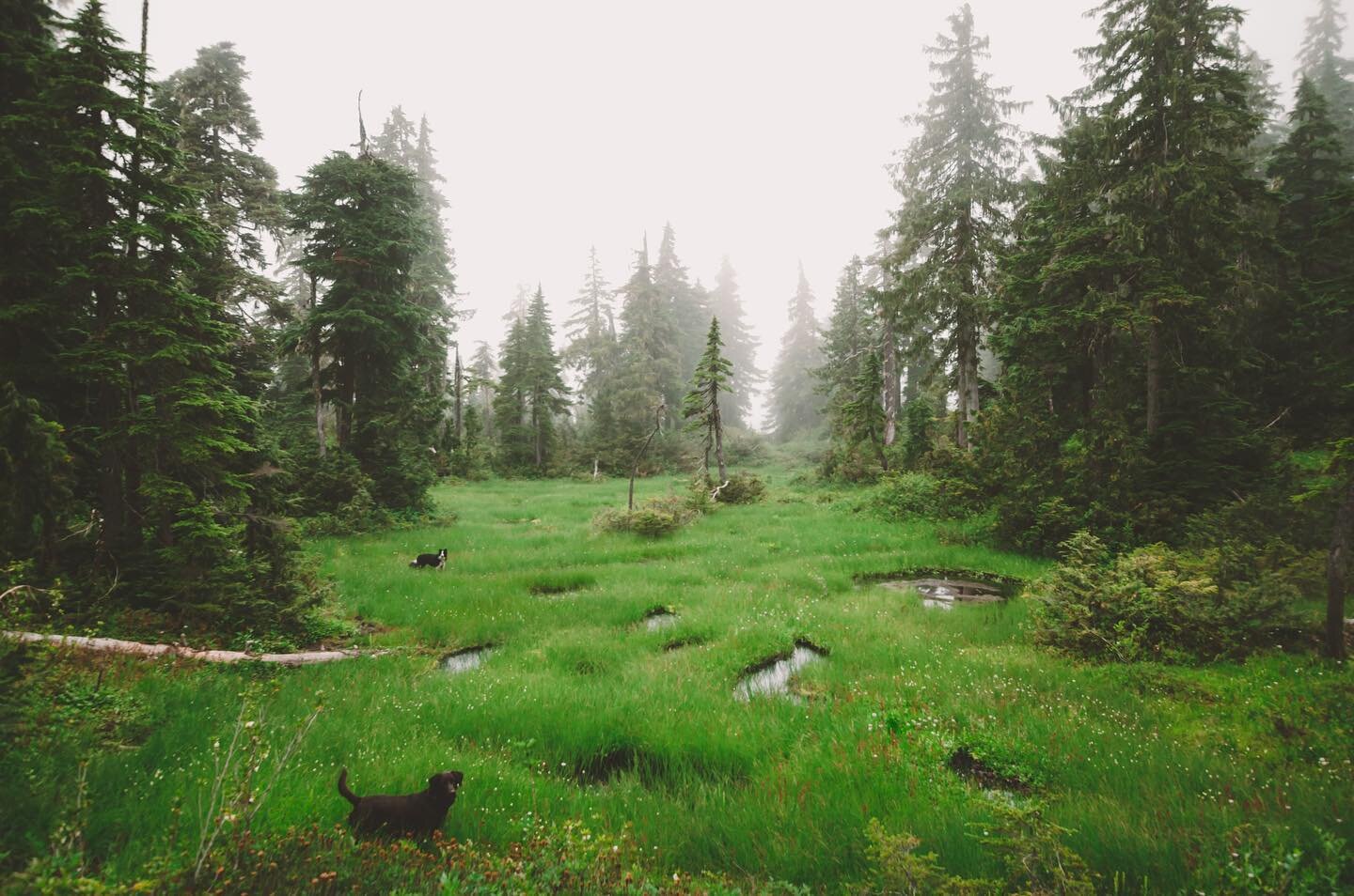
Bonus cute dog pictures!