Green Mountain, Vancouver Island
/I FINALLY got to check this one off my list! Green Mountain has been calling me for months, but between forest fire closures, locked gates, and a lack of a suitable vehicle to get up there, it's taken a few months for the stars to align. Way back in the summer I was researching mountains to add to my hike list on Vancouver Island and I came across an awe-inspiring blog post titled "Glorious Green Mountain" by Lorne Collicutt. Lorne's pictures made me fall in love with a place I'd never been. The mountain peaks, the meadows, they all just drew me in.
Green Mountain is located out in the Nanaimo Lakes area and used to be a ski hill back in the 60's. There was a lodge and even a t-bar to get you up the hill (both of which are nothing more than dilapidated remains now). The mountain's ski-based past becomes apparent as you hike up through countless cleared paths snaking through the trees alongside giant metal poles that once operated the t-bar.
Getting to Green Mountain was not exactly easy. I'd definitely recommend using a GPS track to get up there, both for the road in and for the hike itself. We downloaded a set of tracks from Lorne Collicutt's blog, (link again here), which took us straight up the mountain. If you're not interested in directions, scroll down for more pictures.
To get there, head out Nanaimo River Road towards the Nanaimo Lakes campgrounds. Both the first gate and the second gate have to be open in order to get through, so check on Timber West's blog to see their hours. The first half of the drive is on gravel logging roads, but the last half gets pretty rough pretty quick. Keep driving on the main road, ignoring all of the spurs. The signs say N/L Main. In about 15 minutes, you'll reach a fork. The road to the right is covered in flagging tape and the sign says M - do NOT take this road! Take a left over the bridge instead, continuing on N/L Main. Keep following the main road and ignore all of the spurs. In about 10 more minutes you'll reach a huge fork in the road. Take a left - you'll see a sign that says K branch (the other way is unmarked).
Now here is where we almost missed it. Once you are on K, keep an eye out for a little spur road branching off to your left that immediately starts heading up hill. Take that left! If you see a sign with an old shot up dart board and random naked lady pictures on it, then you've missed the turn. Once you take that turn, it's a long hard grind up switchbacks to get to the trail head. The road is deactivated (cross ditches dug at regular intervals), steep, and covered in large, sharp rocks. The giant cliff that you're driving along doesn't help either. This is where a 4x4 is necessary. We drove up in a 2 wheel drive truck and although we made it, it was a dangerous choice and I would not recommend it. There is really only one big cross ditch that requires a 4x4, and it's still a long way to the trail from there so parking and walking is not an option. There is red/orange flagging tape the entire way up to the trail head, so just follow that and you'll be good to go. About forty minutes in or so, there is another fork in the road. Take the left - follow the red flagging tape. We ended up parking pretty shortly after the fork because the ditches were getting bigger and snowy, but it was only a short walk to the official trail head sign from there.
Once you reach the trail head, it's smooth sailing. There are lots of trails criss-crossing up the mountain, but we seemed to be following the one that was more dominant than the rest. It was hard to tell because very quickly we were up to our shins in snow!
Total drive time: 1 hour 20 minutes
Total hiking time (leaving the truck to getting back to the truck): about 3 hours
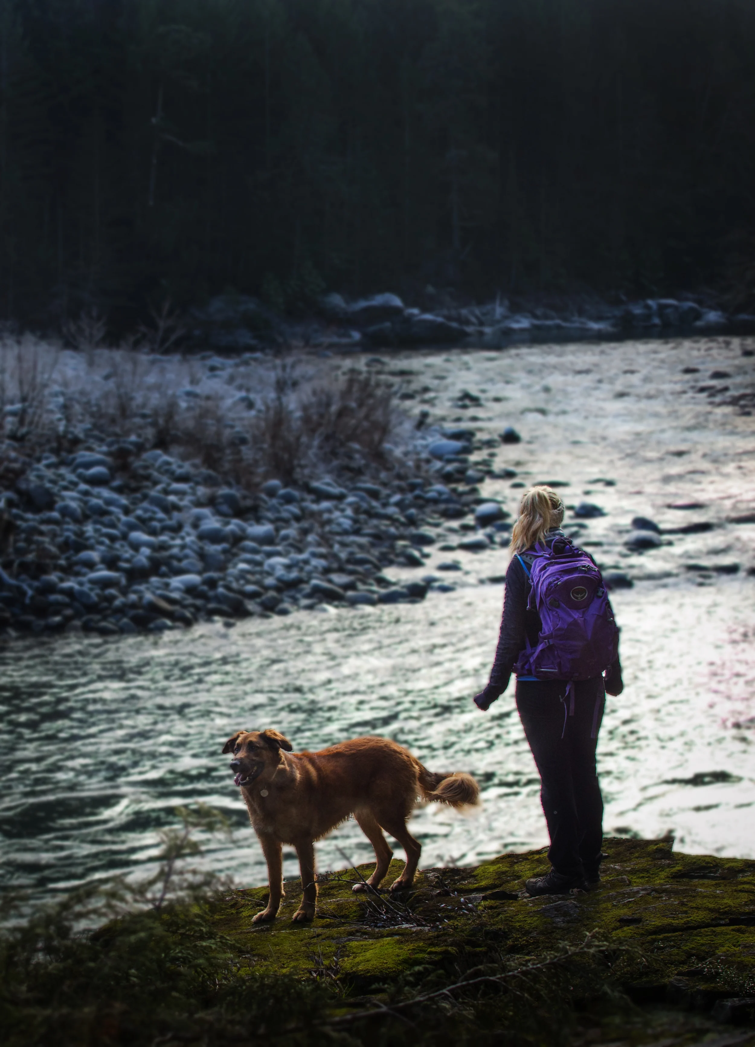
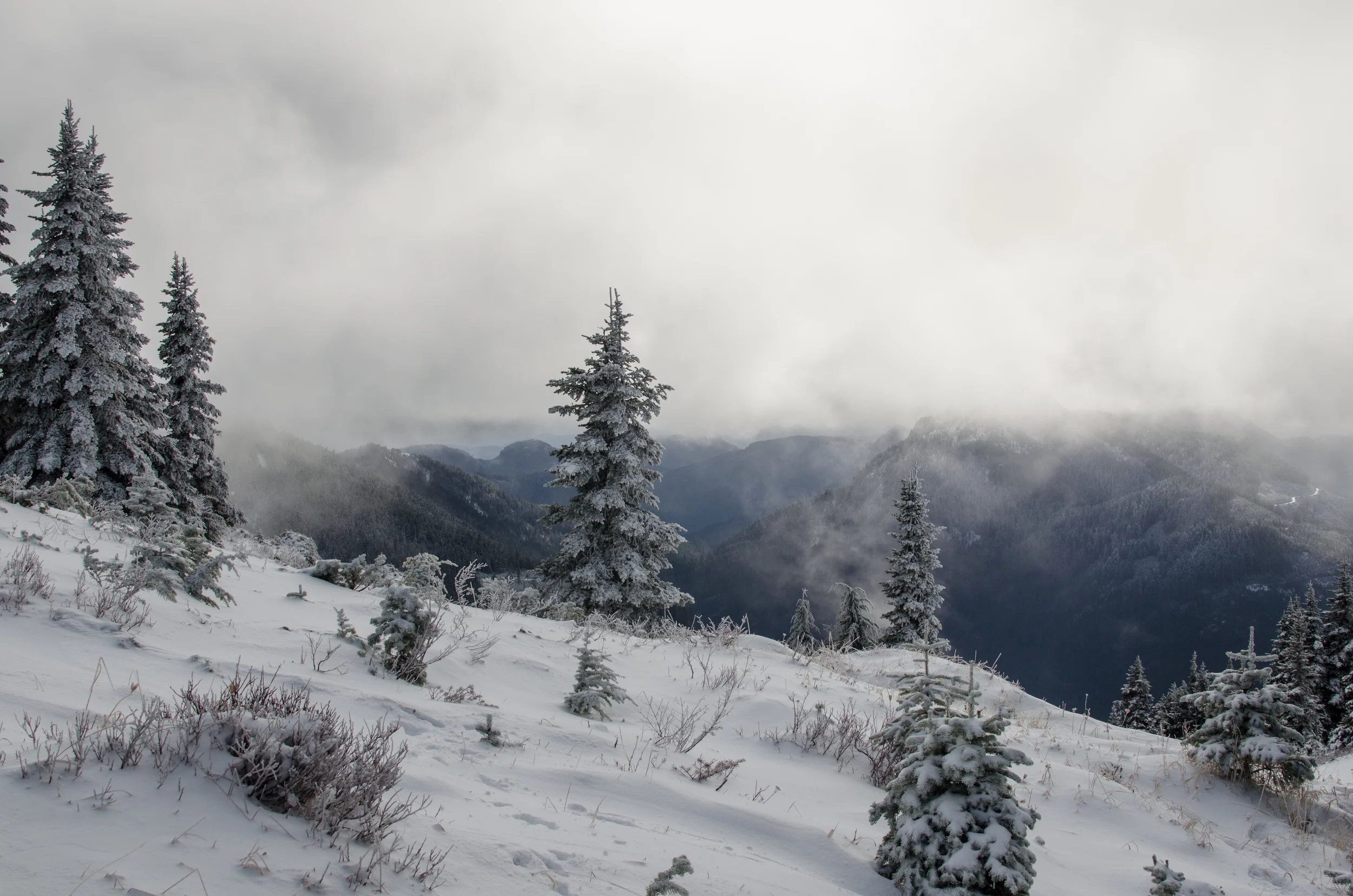
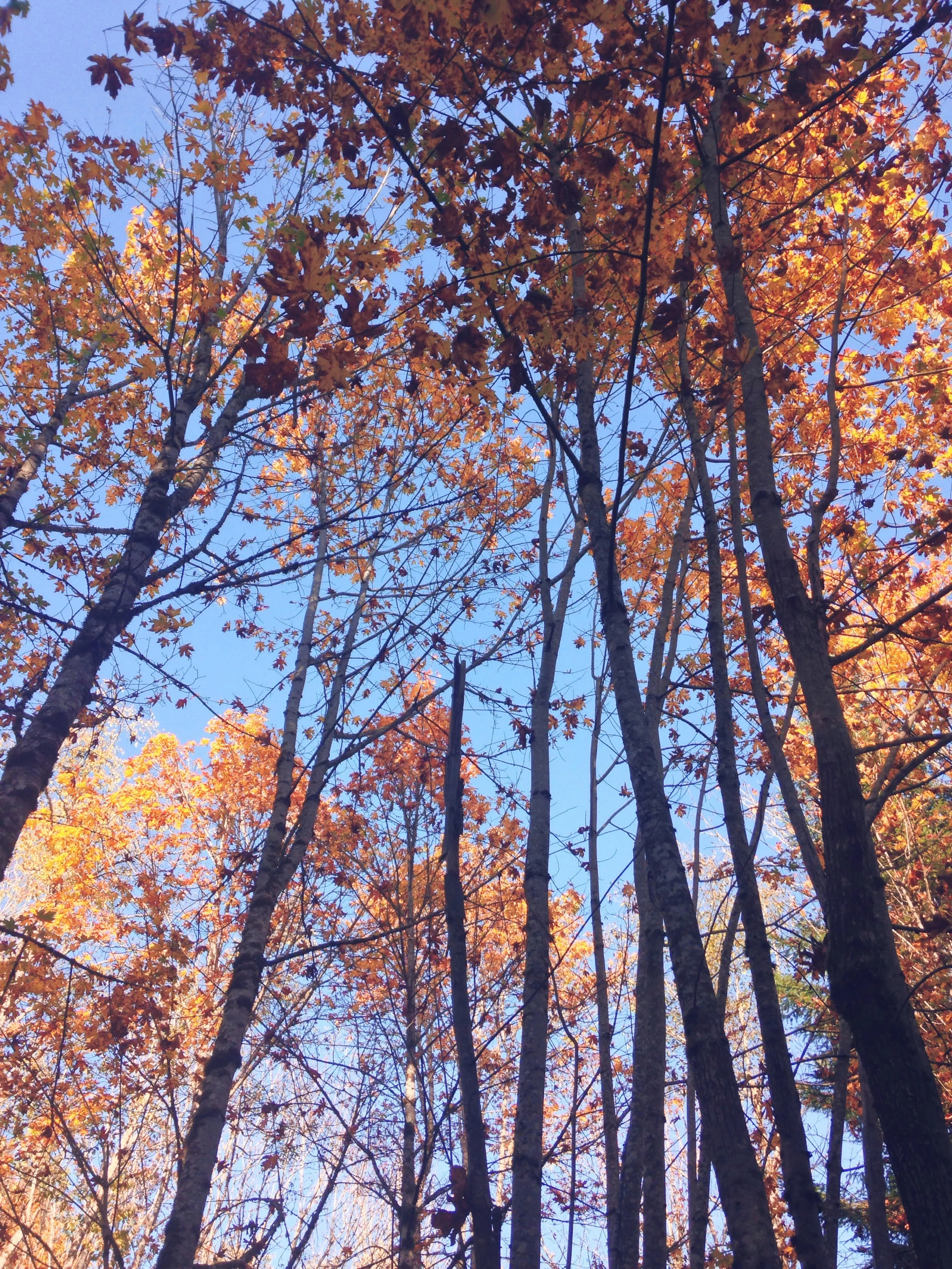
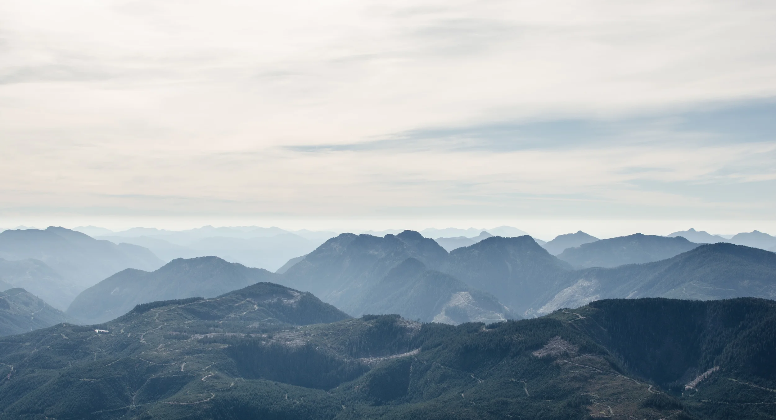
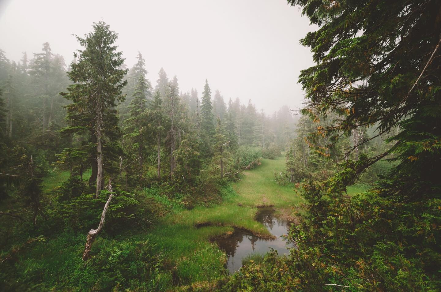
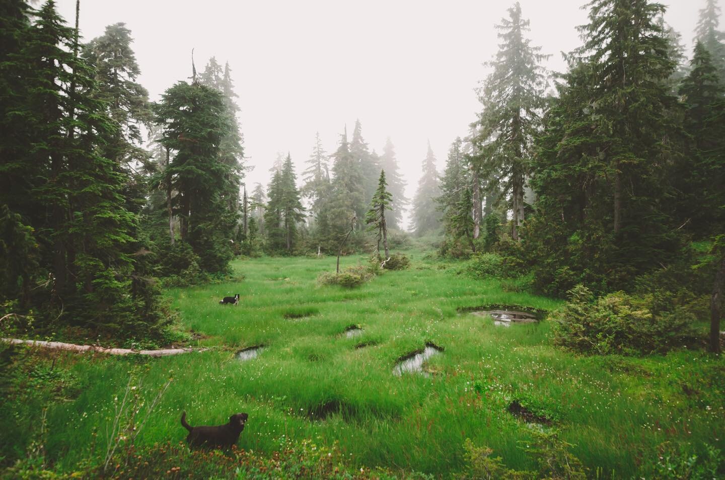
The trees were much different up there, tight and gnarled and draped with moss. After crossing a little stream, the hillside opened up into a huge meadow. There was elk scat EVERYWHERE!
We followed a visible trail for a little while (keeping an eye on our GPS track) but it petered out after we got through the first big meadow area.
After we climbed through the meadow, the trail disappeared and we started relying on the GPS. We meandered uphill, checking every so often to make sure we were on the right track, and took in the winter wonderland surrounding us.
The snow quickly progressed from a light skiff to a thick coating. We had to start being more mindful of where we were stepping because there were many rocks and holes concealed under the snow.
Apparently there are the remains of a small lodge/cabin up on the mountain, but all that we found was the rusting skeleton of an old vehicle. Oh, and countless elk and deer tracks weaving all over the hill. Didn't spot any elk though! Roosevelt Elk frequent the area, and the mountain is also home to an endangered species of marmot - although we definitely didn't see any of those in this weather.
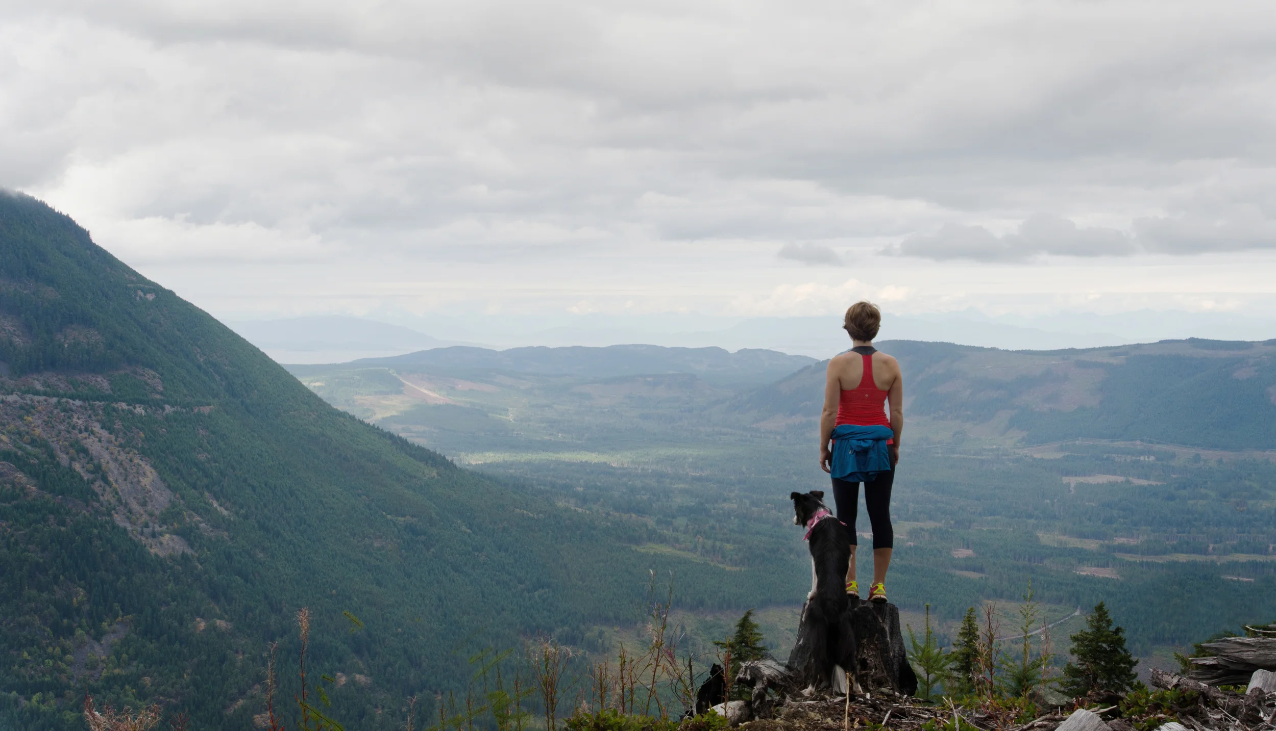
We didn't actually make it to the official summit. We decided that the final push up to the top was unsafe for us to navigate without hiking poles or spiky shoes. The wind was picking up and the clouds were rolling in as well, and being winter-hiking novices we opted to head back instead of spend too much time up there. Next time we'll get to add a rock to the cairn!
To be honest, this was my first time hiking in the snow. It was a completely different experience. I've never been around snow much my whole life, growing up on the west coast. It's hard to believe that it was just over a month ago that we hiked up Mount Arrowsmith in tank tops and were still sweltering the entire way up. The best part of hiking in the snow? Your beer stays nice and cold for lunch at the top!