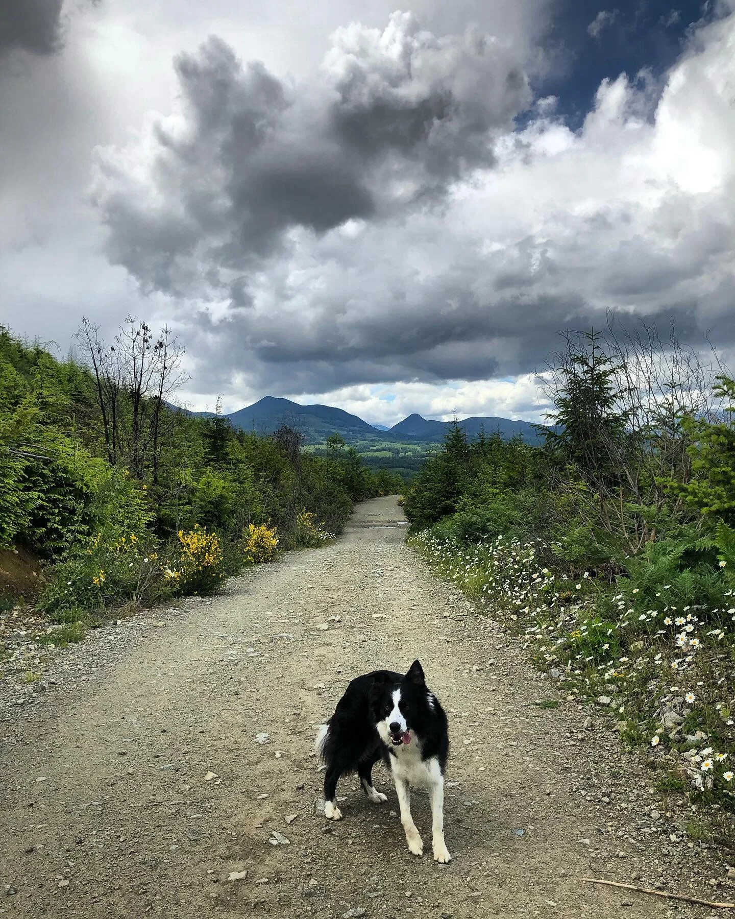
Mount Arrowsmith (Judge's Route), Vancouver Island
/Mount Arrowsmith is one of the more popular hikes on Vancouver Island, and sitting at just over 1800m it is also the highest peak on the southern region of the island. The Judge's Route is the technically the easiest ascent path up to the highest peak of Arrowsmith, meaning it's the only route up to the summit not requiring climbing gear. That being said, there are many other routes that are easier but they don't take you to the actual summit. This route takes around 5 hours round trip and requires a lot of scrambling and rock scaling (again, no equipment necessary). Despite how hard it seems while you're doing it, as long as you are physically fit and not afraid of heights then this route shouldn't be a problem for you. The trail head itself is kind of hard to find if you haven't been there before, but once you're on the trail it's very well marked and easy to follow.
NOTE: Undertake this hike at your own risk. Always be prepared, know your route, and make others aware of your route and your planned return time. There are many opportunities for injury on this trail, and although the trail is well marked, it is still possible to get lost. The day before we hiked it, a group of 20 hikers had to be rescued from the summit.
To get to the trail head for the Judge's Route, head towards Port Alberni from Nanaimo. Once you pass Cameron Lake and Cathedral Grove, the highway starts to climb over the Alberni Summit. Just past the highest point of the highway (there is a sign that says Alberni Summit) you will see a turning lane on your left taking you onto a dirt logging road. NOTE: there are two left turns onto logging roads near the highway summit sign - it is NOT the first one. Take the turn with an actual left hand turning lane. See the map below for the highway turn off.
The back roads are doable in a car but only if you don't mind roughing it up a bit. I'd recommend at least something with a bit more clearance than a Jetta. Keep in mind that these are very active logging roads, so if you are heading out there on a week day be extremely careful driving and watch for logging trucks.
Drive on the main logging road for about 5 minutes until you come to T-junction in the road. There are many little spurs to the left and to the right but just stay on the main road. Take a left at the junction, which does have a sign with Arrowsmith marked pointing left. Stay on this main road for another 10 minutes (again ignoring all the little spurs) until you cross a bridge. Take your second left after crossing the bridge - there is a hand painted bright orange sign that says Arrowsmith. Continue on this road for 3km, counting the roads on your right. The road that you want is your 4th right. There's a little parking area on the left just past the 4th turnoff - you can either park here and start your hike here (which is what we did), or if you have a 4-wheel drive vehicle with good clearance then you can actually continue up that 4th right a bit further. There are some cross ditches but nothing too intense.
From the parking lot you can see what looks like the summit towering over you. This is actually NOT the summit! The real summit is out of view behind this peak, and is 200m higher than what you see here.
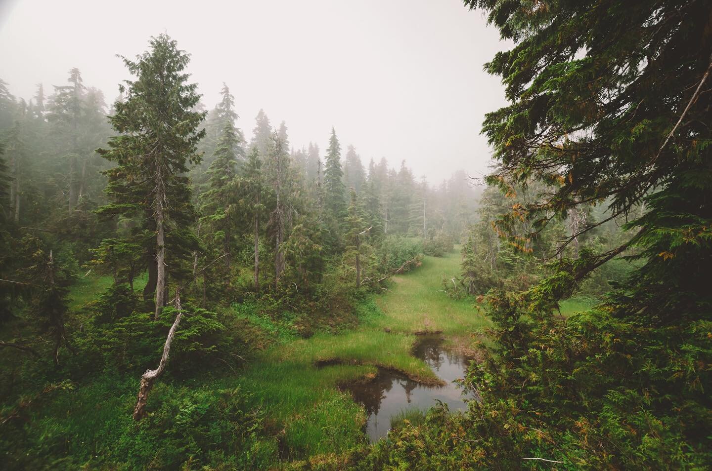
Start walking (or driving) up that road. After a few minutes the road will split, with a smaller, less used road on your right and a well-used logging road heading up switchbacks on your left. Take the RIGHT. It is not marked! The trail head is about a 25 minute walk up that road on your right. You can actually drive all the way up to the trail head if you have 4 wheel drive and park right by the trail head, saving you that half hour walk. The trail starts on the left hand side of the end of the road and is very well flagged the entire way up. The grind begins here and doesn't stop until you reach the summit! The map below shows where the trail actually starts. If you zoom in, the little road is actually marked as Judge's Route.
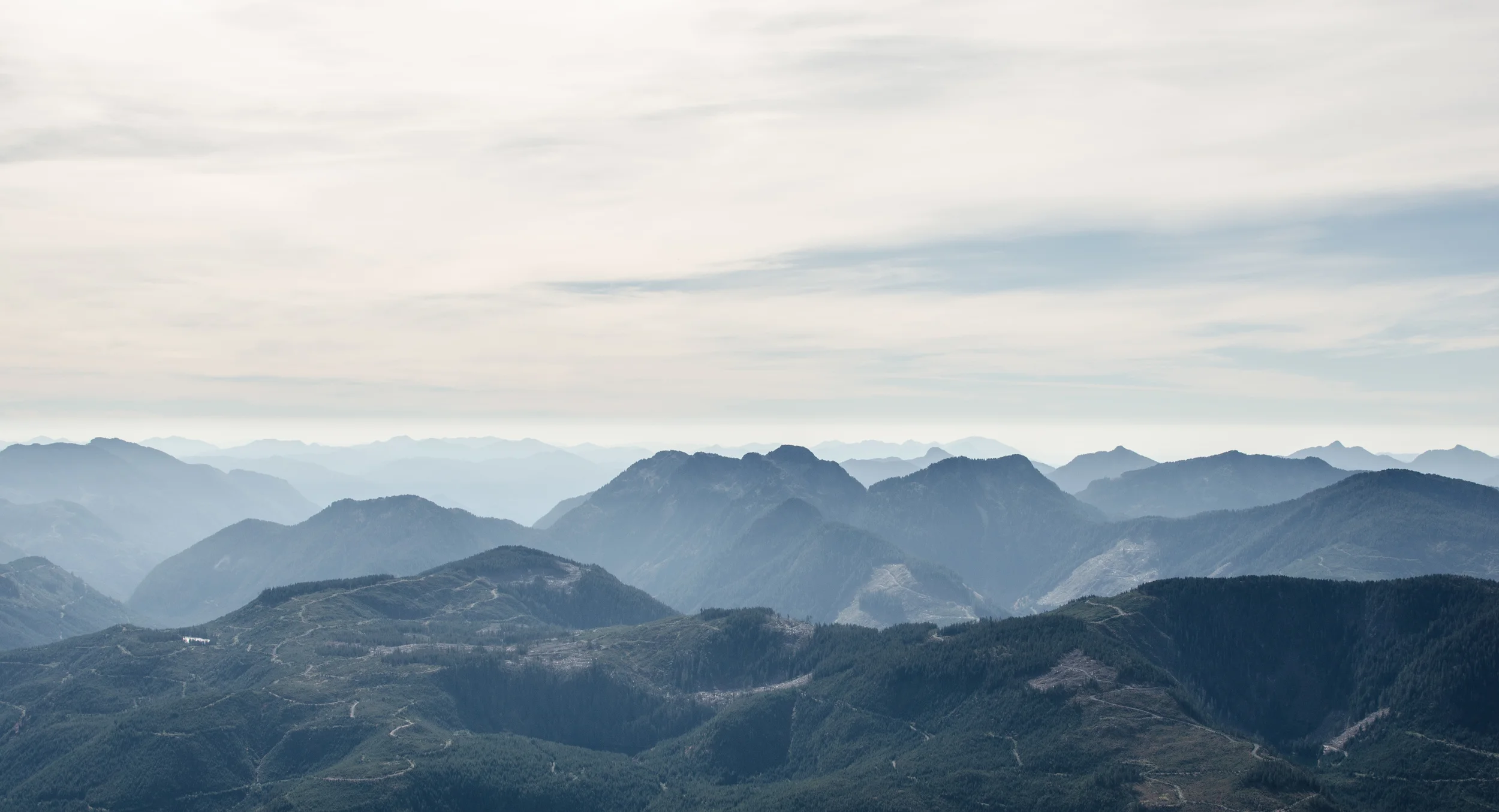
We were treated to some nice views of Port Alberni covered in morning clouds. By the time we reached the top, not a trace of clouds remained.
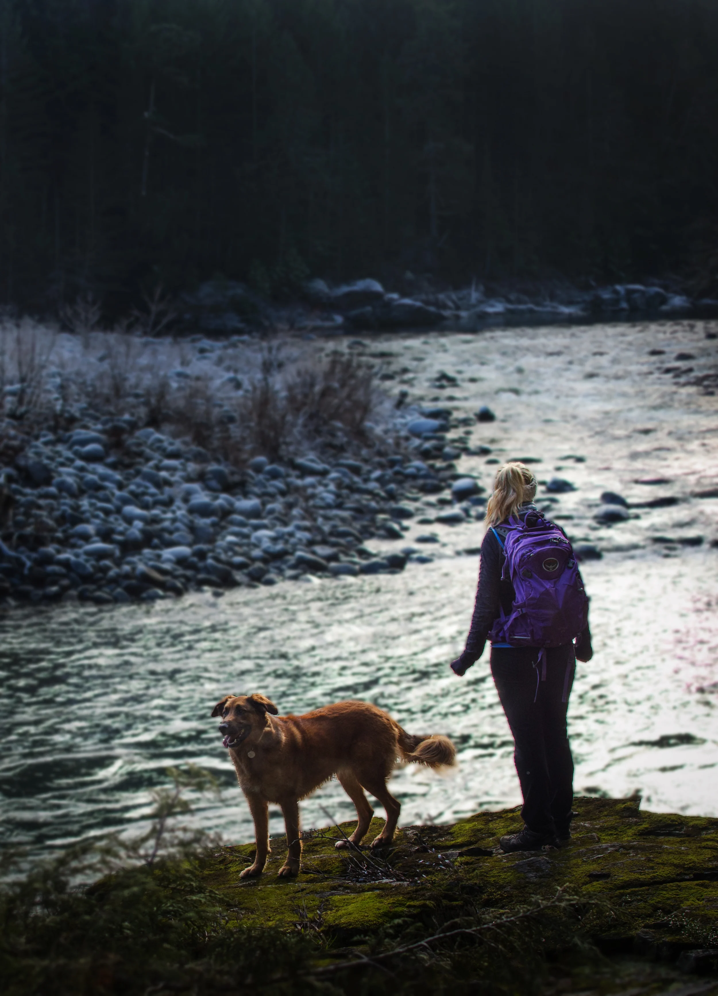
Right from the truck to the summit we were joined by Whiskey Jacks, or Grey Jays. They are the friendliest most curious birds I've ever met. We happened to have some sunflower seeds with us, and they were more than happy to swoop down and eat from my palm. A pair of them stuck with us, flitting from tree to tree and landing on our hands whenever we stopped to eat, throughout the entire hike.
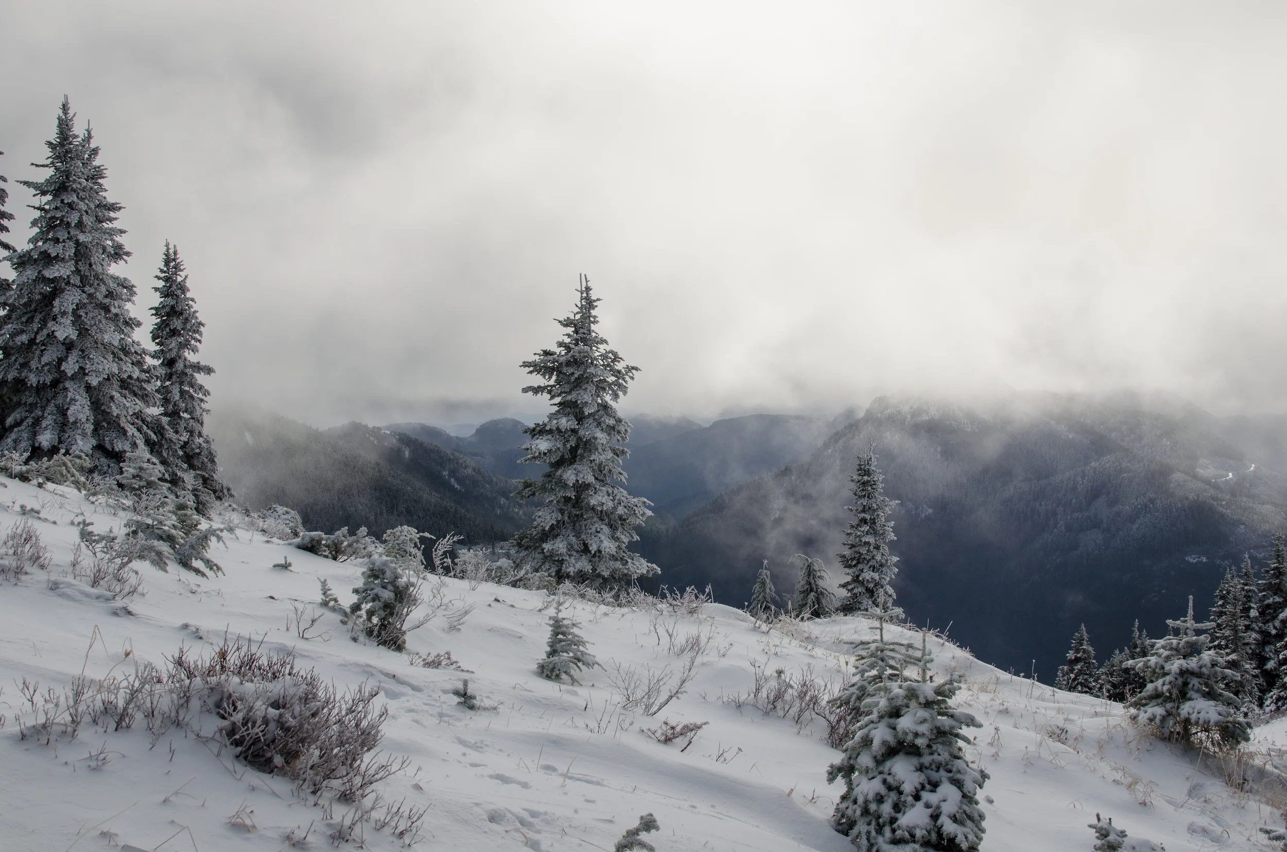
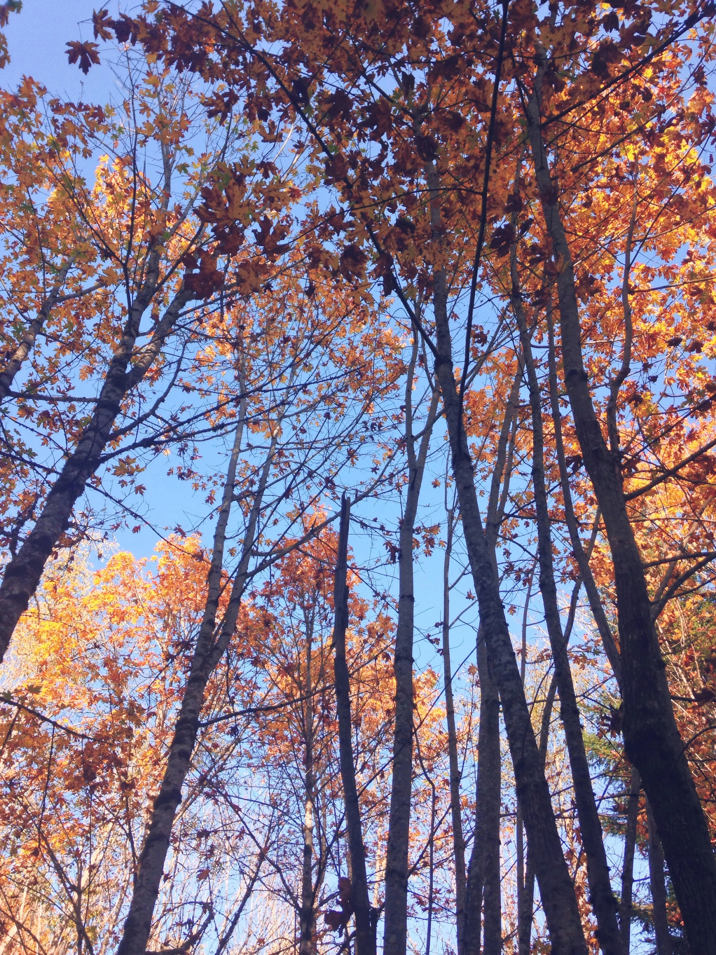
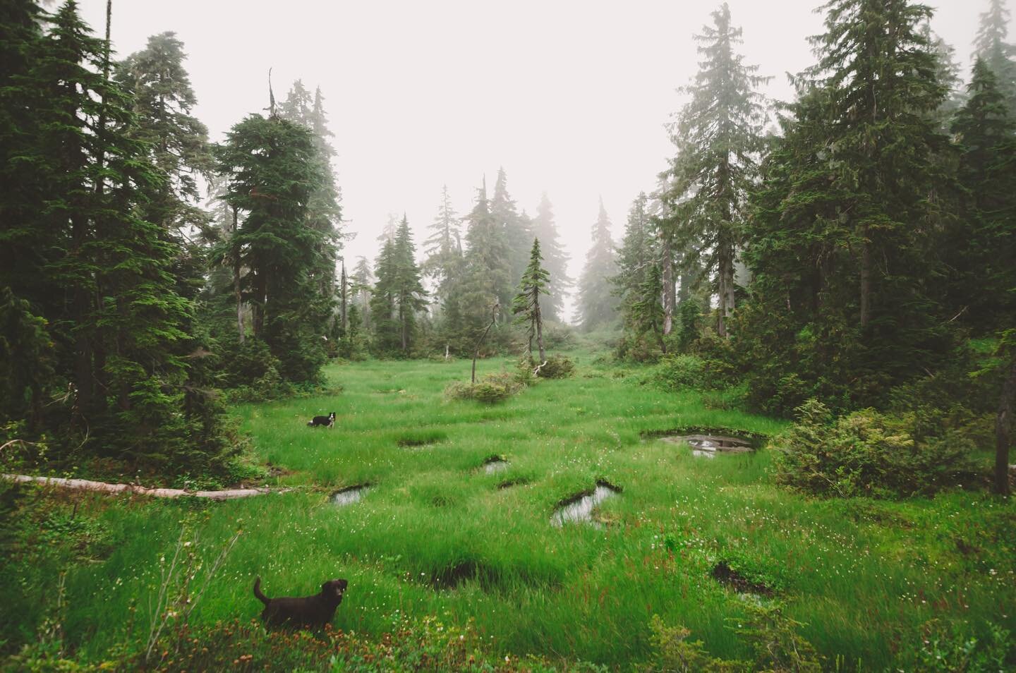
It took us 2 hours and 20 minutes to reach the top from the trail head, including breaks. The first hour was through forest, then the terrain quickly changed to rocky alpine. The trees were gnarled and stunted and the trail transitioned from dirt to loose rocks. Let the scrambling begin!
The final half hour of the climb was literally that - a climb. If the rock faces that were were climbing were any steeper, climbing gear would've been required. We squeezed our way up steep crevices, hand over hand, hiking boots searching out the next notch to securely pull yourself up.
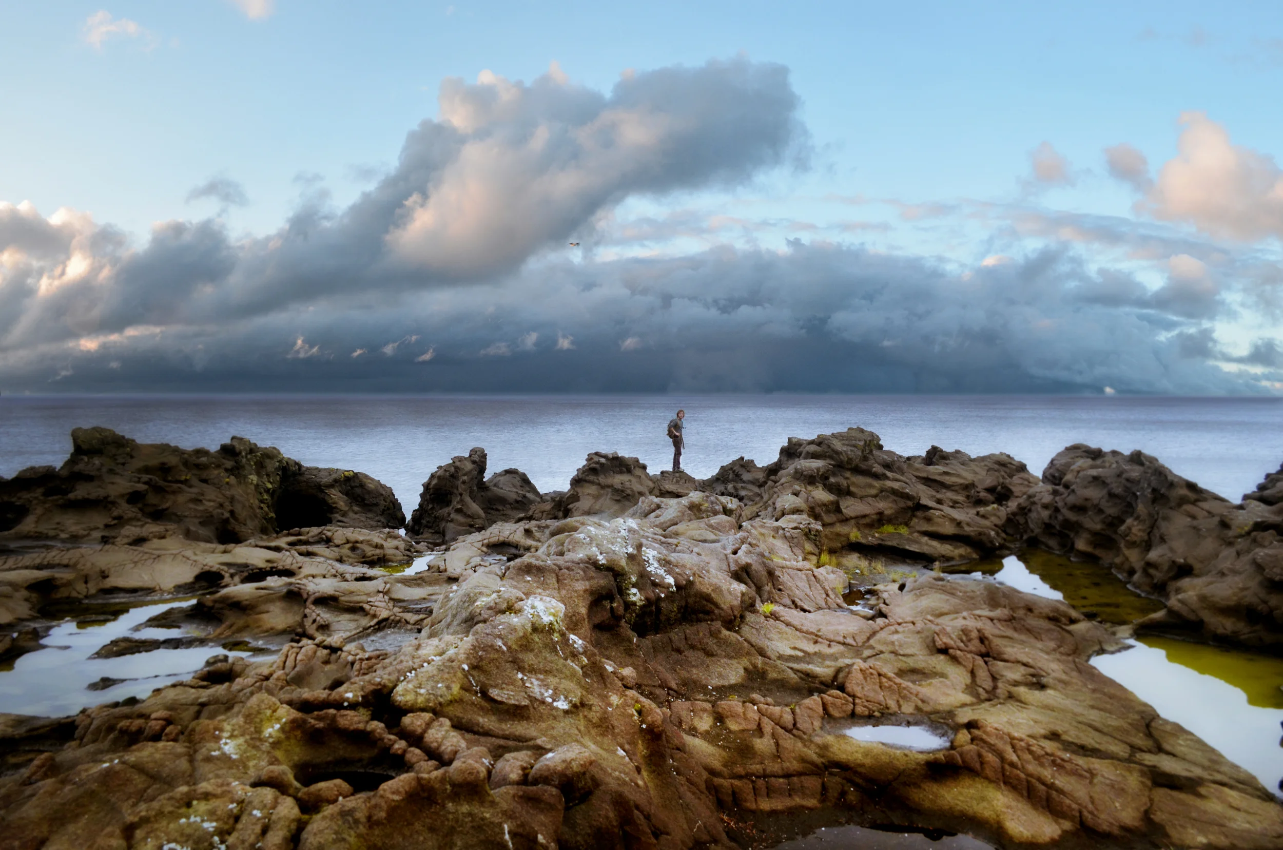
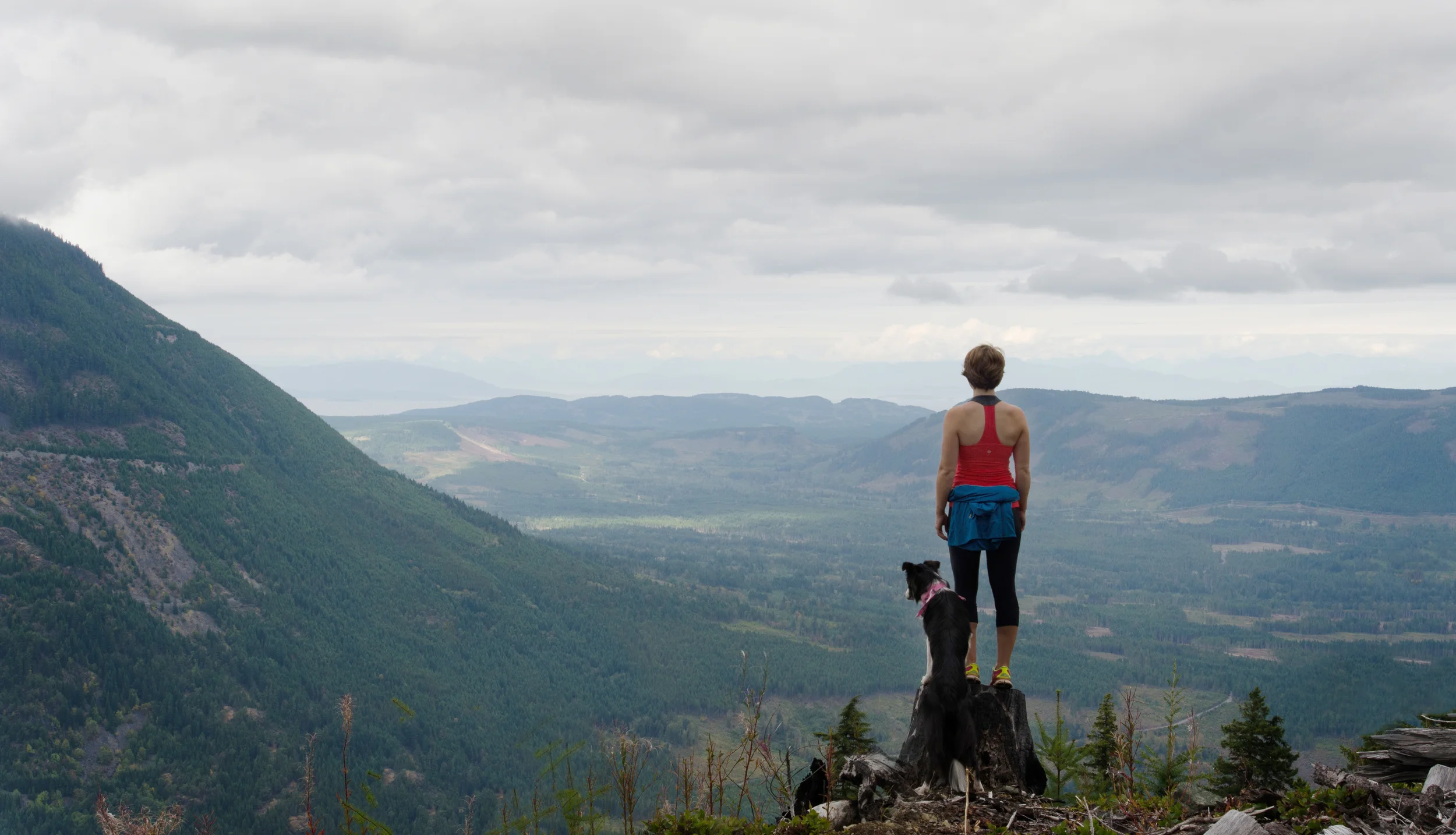
And then, finally, sweating, panting, swearing that your legs cannot carry you one further step up, all at once you are on top of Mount Arrowsmith, hooting and hollering and looking down at Vancouver Island far below you.
The weather was absolutely unreal. We spent about half an hour eating lunch and taking pictures at the top - and make sure that you sign the registry to prove you were there!
The weather was clear enough that we could actually see Mount Baker peeking through the haze, almost 200km away.
The only downside of the hike? Going back down! Them were some shaky legs, I'll tell ya that much...
HIKING TIMES (with breaks):
Parking lot to trail head: 20 minutes
Trail head to summit: 2 hours 15 minutes
Summit down to trail head: 1 hour 30 minutes
Trail head back to parking lot: 15 minutes
OVERALL HIKING TIME (from truck back to truck): 4 hours 30 minutes
DRIVING TIME: About 1.5 hours from Nanaimo to the parking lot, depending on what you're driving on the back roads.
Thanks for reading! What's your favourite hike on Vancouver Island? Any recommendations for where I should go next?